Blackburn sits on the western edge of the Pennines, where steep valleys and a history of coal mining create complex ground conditions. For any development near the West Pennine Moors, a debris flow analysis is essential under Eurocode 7 (EN 1997-1:2004) and BS 5930. Our team combines field mapping, borehole data, and laboratory testing to model potential flow paths and deposition zones. In Blackburn, the combination of glacial till overlying weathered Millstone Grit makes slope stability a non-negotiable part of site assessment. We integrate this with a study of expansive soils where clay-rich layers are present, and a MASW survey to define the vs30/" data-interlink="1">shear wave velocity profile across the site.
Blackburn’s 1,200 mm annual rainfall combined with glacial till over Millstone Grit makes debris flow analysis a critical step for hillside developments.
Technical details of the service in Blackburn
- Topographic surveys with 1 m resolution LiDAR to identify source zones and runout paths.
- In-Situ with a plate load test to assess stiffness of the colluvium.
- Laboratory shear strength determination via direct shear test on saturated samples.
Risks and considerations in Blackburn
Land in the Revidge area of Blackburn has a different risk profile compared to the lower-lying Shadsworth estate. Revidge sits on steeper slopes with shallow peat and till, while Shadsworth has deeper glacial deposits with less gradient. In Revidge, a debris flow could mobilise within hours of a heavy storm, threatening properties at the toe. We map these zones using a Monte Carlo simulation of rainfall return periods, then design check dams or diversion channels. For Blackburn, the most critical variable is the state of the old drainage adits — many are unmapped and can suddenly channel water into unstable colluvium.
Our services
Our debris flow analysis in Blackburn is supported by a full suite of complementary geotechnical services. Each one is tailored to the local ground conditions and project stage.
Hillside Hazard Mapping
LiDAR-derived terrain models combined with historical landslide inventories to delineate source, transport, and deposition zones specific to Blackburn’s valleys.
Rheological Laboratory Testing
Bulk density, yield stress, and viscosity measurements on disturbed samples from the colluvium to calibrate runout models under saturated conditions.
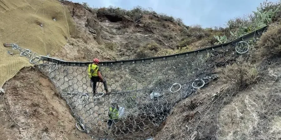
Mitigation Design
Structural measures including debris barriers, drainage improvements, and slope regrading, designed to Eurocode 7 and site-specific rainfall data from the Blackburn weather station.
Common questions
When is a debris flow analysis required for a site in Blackburn?
Any development on slopes steeper than 15 degrees, especially near the West Pennine Moors or in areas with a known history of shallow landslides, should include a debris flow analysis. The Blackburn planning authority often requests it for sites with over 3 m of colluvium or adjacent to a watercourse.
What is the typical cost range for a debris flow analysis in Blackburn?
For a residential plot of 0.5 – 1 hectare, the study usually falls between £920 and £2,930, depending on the complexity of the terrain and the number of boreholes required. Larger developments with multiple catchments may cost more.
How long does the analysis take from field work to final report?
A standard debris flow analysis for a Blackburn site takes 4 to 6 weeks. This includes a site walkover, two days of drilling and sampling, laboratory rheology tests, and a week of numerical modelling. We can expedite to 3 weeks for smaller sites.
What is the difference between a debris flow and a shallow landslide in Blackburn’s geology?
A shallow landslide involves a single block of soil sliding along a failure plane, while a debris flow is a mixture of soil, water, and debris that travels downslope as a fluid. In Blackburn, shallow landslides occur in the till on moderate slopes, whereas debris flows happen in the steep, peat-topped catchments of the moors after intense rain.