Blackburn's geology is defined by the transition from the Pennine foothills to the Lancashire plain, creating a sharp contrast between the weathered Millstone Grit of the western suburbs and the deeper glacial till sequences near the town centre. In neighborhoods like Pleckgate, residual soils derived from sandstone bedrock can be less than 2 m thick, while closer to Witton Park the weathering profile extends beyond 6 m, with clayey sands grading into completely decomposed rock. Before designing shallow foundations in these zones, the team typically cross-references the weathering classification with a clasificación de suelos index to confirm plasticity and particle-size distribution against the local drift geology.
Residual soil profiles in Blackburn can vary from 1.5 m to over 7 m within a single site, making preliminary desk studies essential.
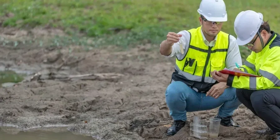
Technical details of the service in Blackburn
Risks and considerations in Blackburn
Eurocode 7 (EN 1997-1:2004) together with BS 5930:2015 require that the weathering state and collapse potential of residual soils be explicitly assessed for Serviceability and Ultimate Limit States. In Blackburn, where many Victorian terraces and post-war housing estates were built on cut-and-fill platforms, the risk of differential settlement due to heterogeneous weathering is high. Soils that appear competent during dry summer months can lose 30–50% of their stiffness upon wetting, a phenomenon documented in the Rossendale formation. The engineering team recommends unsaturated shear strength testing and swelling index determination for any residual profile exceeding 3 m in depth.
Our services
Our residual soil characterisation service covers the full spectrum from field prospecting to advanced laboratory testing, tailored to Blackburn's varied geology.
Weathering profile logging
Systematic description of residual soil horizons from trial pits and boreholes, recording colour, structure, and discontinuity spacing per BS 5930.
Index property testing
Atterberg limits, particle size distribution, and natural moisture content to classify residual materials and estimate collapse potential.
Shear strength determination
Triaxial UU and CIU tests on undisturbed samples, plus direct shear on reconstituted specimens to model in-situ behaviour.
Collapse and swelling assessment
Oedometer tests under controlled wetting to quantify collapse strains and swelling pressures in unsaturated residual profiles.
Common questions
How deep should I investigate for residual soils in Blackburn?
For typical residential projects in Blackburn, the investigation depth should extend at least 1.5 times the foundation width into the residual profile, or until Grade III (moderately weathered) rock is encountered. In zones like the Shadsworth estate, profiles can reach 6 m before fresh bedrock, so a minimum of three boreholes to 8 m is common for commercial developments.
What is the typical cost range for residual soil characterisation in Blackburn?
For a standard suburban plot in Blackburn, the full characterisation package — including trial pits, index testing, and triaxial shearing — falls between £620 and £2,130, depending on the number of sampling points and the complexity of the weathering profile. A detailed quote is issued after the initial site walkover.
Why does residual soil collapse matter for foundations in Blackburn?
Residual soils in Blackburn often contain open fabric and silt-sized particles that can collapse upon wetting, especially where the natural moisture content is below the plastic limit. This collapse can trigger differential settlements of 25–50 mm under a typical strip footing, exceeding the serviceability limits of Eurocode 7. The risk is highest on south-facing slopes where seasonal drying and wetting cycles are most pronounced.