Blackburn's geology is dominated by glaciofluvial sands and gravels overlying Carboniferous Millstone Grit, with variable thicknesses of glacial till across the town. The underlying bedrock depth can shift from 5 to 30 metres within short distances, particularly near the Ribble Valley, which directly influences road embankment design. Before specifying fill materials or compaction targets, a thorough ground investigation is essential to map these lateral variations. Integrating a study of soil classification helps define the plasticity and grading of the native soils, while a permeability test provides data on drainage characteristics critical for slope stability. These assessments form the basis for designing embankments that perform reliably under both static and traffic loading.
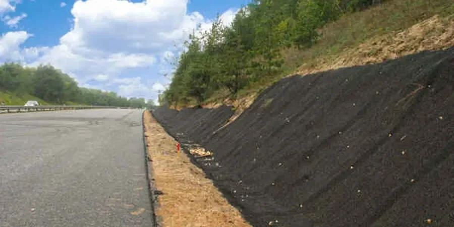
Glaciofluvial sands overlying variable bedrock demand staged construction and drainage layers for embankments above 6 metres in Blackburn.
Technical details of the service in Blackburn
Risks and considerations in Blackburn
A frequent oversight in Blackburn is assuming uniform bearing capacity across a site without accounting for glacial till lenses that can cause abrupt differential settlement. Contractors sometimes compact fill at moisture contents well above the optimum due to the high natural water table in the valley areas, leading to long-term creep and pavement cracking. If the drainage layer is omitted or undersized, pore water pressure builds up within the embankment core, reducing effective stress and triggering shallow rotational slips. These failures often appear months after construction, requiring expensive remedial works and traffic management closures. A proper road embankment design that includes drainage modelling and staged compaction avoids these costly outcomes.
Our services
For road embankment design in Blackburn, we provide two complementary services that cover the full scope from investigation to construction support.
Ground Investigation & Material Characterisation
Trial pits, window sampling, and laboratory testing (grading, Atterberg limits, Proctor compaction, CBR) to classify the native ground and fill sources. We provide a factual report and geotechnical parameters for use in design.
Embankment Design & Stability Analysis
Limit equilibrium and finite element analyses (SLIDE, PLAXIS) to verify slope stability, settlement, and bearing capacity. We produce design drawings, compaction specifications, and drainage layouts for tender and construction.
Common questions
What is the typical cost range for a road embankment design study in Blackburn?
For a standard highway embankment up to 6 metres high, the geotechnical design and ground investigation typically ranges from £1,500 to £3,330, depending on the number of trial pits, laboratory tests, and complexity of the drainage design. Larger or reinforced embankments may require additional analyses.
What ground conditions in Blackburn affect embankment design the most?
The main challenges are the variable depth to bedrock and the presence of soft alluvial clays in the Ribble Valley floodplain. Glacial till can also contain cobbles and boulders that complicate excavation and compaction. A thorough site investigation is essential to map these features.
How do you manage differential settlement where fill meets existing ground?
We specify a geotextile reinforcement layer at the interface, benching into the existing slope, and staged fill placement with controlled surcharge. Settlement monitoring points are installed to verify performance during and after construction, with a target of less than 25 mm long-term.
Which British standard governs earthworks for road embankments?
The primary standard is BS 6031:2009 for earthworks, with compaction requirements from BS 1377-4. For highway embankments, the Manual of Contract Documents for Highway Works (MCHW) Series 600 also applies. Design verification follows Eurocode 7 (BS EN 1997-1).