The difference between building on the solid Millstone Grit of the western slopes around Feniscowles and the deep glacial till of the Darwen Valley floor is huge. In Blackburn, the geology shifts from competent rock to thick superficial deposits within a mile, and that contrast controls everything in seismic design. A MASW survey gives us the shear wave velocity (VS30) profile that separates these zones, letting us assign the correct Eurocode 7 ground type without guessing. We routinely run these surveys alongside clay mineralogy testing on Atterberg limits when the till shows high plasticity, because low VS30 combined with high plasticity can drive foundation costs up fast.
A single MASW line can pick up a stiff crust over softer clay at 6 metres — information a borehole alone might miss.
Technical details of the service in Blackburn
Procedure video
Risks and considerations in Blackburn
The wet Pennine climate means Blackburn's glacial till is often at or near saturation, especially after the autumn rains. Saturated low-VS soils amplify ground motion significantly, and the 2013 seismic hazard update for the UK showed that even moderate magnitude events (M ~4.5) can produce peak accelerations that matter for four-storey residential blocks. If you underestimate the VS30 and assign a rock-like ground type B when the site is actually type C or D, the design spectrum will be too low. We always run a sensitivity analysis on the inversion to quantify that uncertainty before the structural engineer locks in their base shear.
Our services
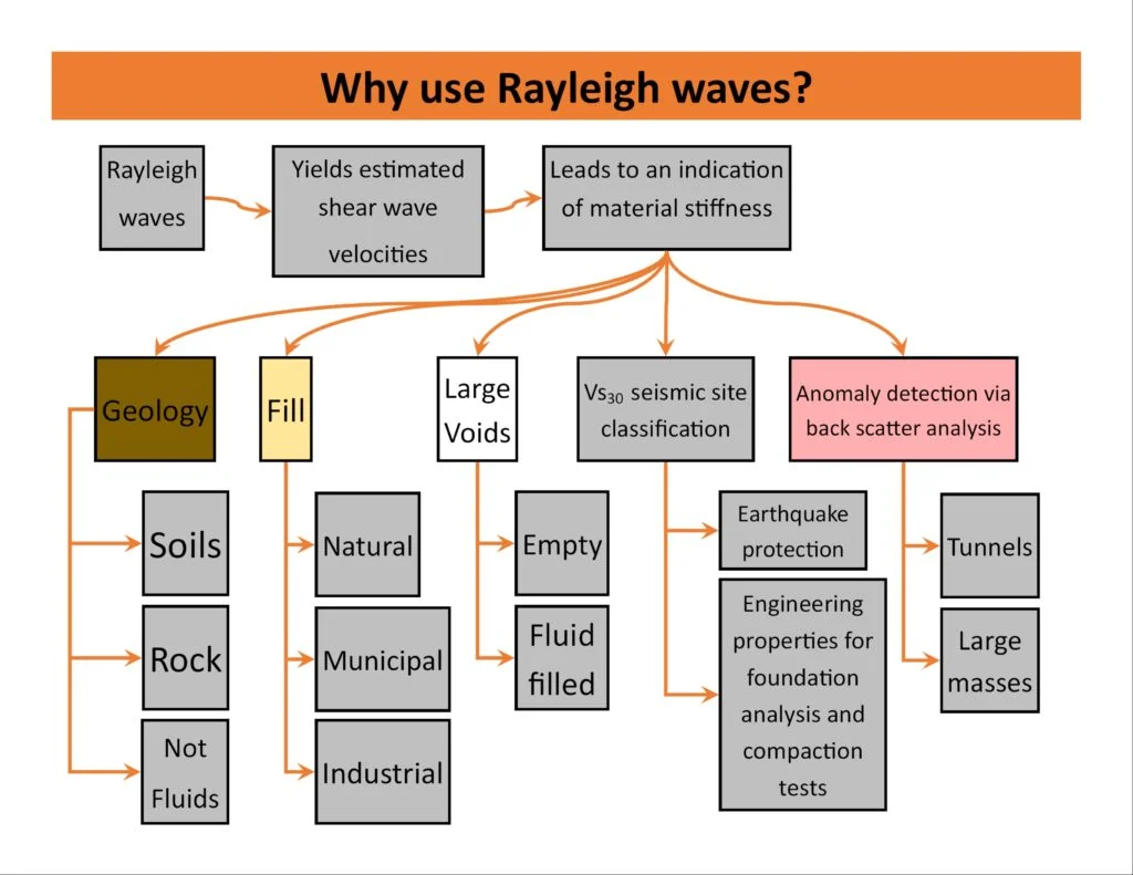
We offer two complementary MASW-based services tailored to Blackburn's mixed geology:
1D MASW for VS30 and Site Class
Single-line survey with 24 geophones, hammer source, and full inversion report including VS profile, VS30 value, NEHRP site class (A–E), and uncertainty bounds. Ideal for small to medium residential and commercial projects.
2D MASW for Lateral Variability Mapping
Multi-line survey (3–5 lines) covering the full site footprint. Produces a 2D VS cross-section that highlights lateral changes — essential where Blackburn's drift geology is known to pinch and swell unpredictably.
Common questions
How deep does a MASW survey reach in Blackburn's glacial till?
Standard 24-channel acquisition with a sledgehammer source reaches 30 m depth in typical till, which is enough to compute VS30 for Eurocode 7 and NEHRP site classification. If deeper investigation is needed (e.g. for tall structures founded on bedrock below the drift), we can extend the array or use a larger source.
What is the typical cost range for a MASW survey in Blackburn?
For a standard 1D line with 24 geophones, full acquisition and inversion report, the cost falls between £1.300 and £2.630 depending on site access, number of lines, and reporting detail. 2D multi-line surveys are quoted per project after a site walkover.
How does MASW compare to a borehole for VS30 determination?
MASW gives a continuous VS profile from the surface to 30 m without the need for drilling, sampling, or laboratory resonant-column testing. It's faster and cheaper than a cored borehole with downhole suspension logging. However, MASW measures an average shear-wave velocity of the soil mass, not point values, so we often combine it with one or two boreholes for calibration when the soil profile is complex.